

 Isiah Christie
Only a couple of weeks after New Jersey’s combination of storms, wildfires, and unsafe air, the state is being hit with another set of weather conditions to watch out for. The forecast as of Tuesday, July 28th includes heavy rain, flooding, and a tornado watch, with these extreme conditions expected to affect all of New Jersey. Read on to see what to know about today’s weather.
What to Know
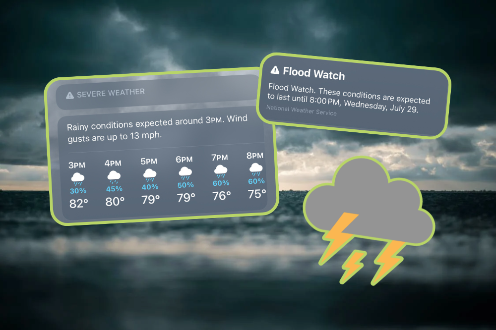
According to the National Weather Service (NWS), heavy rain is expected in the New Jersey, Philadelphia, and New York City areas for the entirety of Tuesday, July 28th, and will continue into Wednesday evening. 2 to 3 inches of rain are expected, and gusty winds and small hail are possible, according to News 12 New Jersey. The heavy rainfall rates may lead to flash floods in select areas, and a travel advisory has been put into effect in the New York metropolitan area until 8AM on Wednesday.
The NWS has also urged residents to watch out for strong winds, tornadoes, and lightning, with the southern New Jersey region at a greater risk of the former two. The flood watch is in effect until 8PM on Wednesday, with the greatest threat of flash floods occurring between Tuesday afternoon and Tuesday night. Those in basement areas are advised to prepare to move above ground, and there may be road closures.
For more information on the ongoing weather alerts and conditions in the New Jersey + Philadelphia area, visit the National Weather Service’s website here.
See More: New Jersey Just Banned AI-Driven Rent-Setting Software


Follow @thenewjerseygirl on Instagram + TikTok for the latest updates on Hoboken, Montclair, Bergen County, and more, sign up for our weekly newsletter here that shares everything you missed each week, and check out our events calendar, which has over 100+ events weekly to peruse.